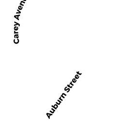
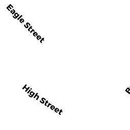
188 HIGH ST
Owner Information
MILLER GERALDINE H TRS
188 HIGH ST
NEWBURYPORT, MA 01950


Property Details
188 HIGH ST is classified as a Apartments with Four to Eight Units (Family conver.).
The primary structure on this property was built in 1791. There are 6,082ft2 of built area within this property. There is 4,170ft2 of residential/living space within this property. This property is listed as having 150 rooms.
188 HIGH ST is valued at $1,041,200. The land is valued at $454,900 and the structures are valued at $573,900. There is an additional valuation of $12,400 on this property.
This property is in Zone R3. Confirm with local Zoning Board authorities to ensure there are no overlays or other easements on this property.
188 HIGH ST was last sold on Monday, August 19, 2013 for $0.
Assessment data from fiscal year 2021.
Flood Data
According to the FEMA National Flood Hazard Layer, this property does not appear to be in a flood zone. It may also be in an area not yet reviewed. Nonetheless, confirm this information prior to taking any action.
To view the flood hazards around this property, create a FEMA "Firmette" Map of the area around 188 HIGH ST.
Broadband Internet Providers
| Provider | Type | Bandwidth (mbps) | |
|---|---|---|---|
| Verizon New England Inc. | DSL | 15 | 1 |
| Comcast | Cable | 1000 | 35 |
| T-Mobile | Fixed Wireless | 25 | 3 |
| GCI Communication Corp. | Satellite | 0 | 0 |
| HughesNet | Satellite | 25 | 3 |
| VSAT Systems, LLC. | Satellite | 2 | 1 |
| Viasat Inc | Satellite | 100 | 3 |
Broadband service provider data from December 2020.
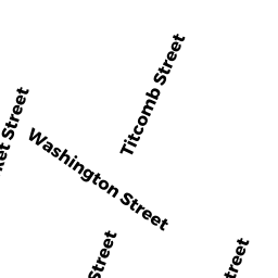
Adjacent Properties
- 190 HIGH ST
Two-Family Residential owned by NELSON THEODORE R & JENNY K TRS - 43 WASHINGTON ST
Undevelopable Residential Land owned by NELSON THEODORE R & JENNY K TRS - 41 WASHINGTON ST
Other, Open Space owned by CONDO MAIN - 41 WASHINGTON ST UNIT A
CONDO MDL-05 owned by BOARDMAN SCOTT - 41 WASHINGTON ST UNIT B
CONDO MDL-05 owned by ALTER DORI A - 41 WASHINGTON ST UNIT C
CONDO MDL-05 owned by MAZZA LORRAINE - 41 WASHINGTON ST UNIT D
CONDO MDL-05 owned by OGAR ELIZABETH M - 186 HIGH ST
Single Family Residential owned by LEE CHRISTOPHER & ANDREA T/E